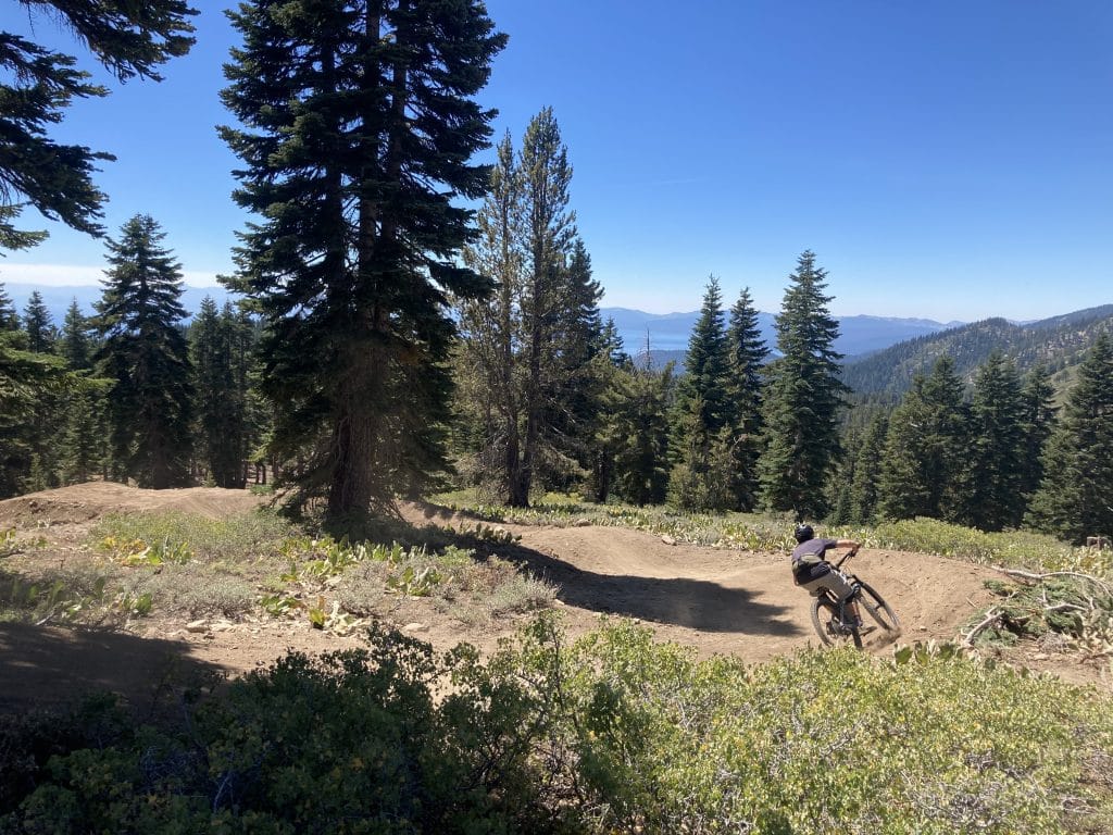
Ski Way's Backyard Downhill: Where the Ride Actually Ends
Every mountain bike site that covers the Tyrolian Downhill Trail spends its opening paragraphs explaining how to get there. Park at Diamond Peak. Arrange a shuttle to Tahoe Meadows. Budget forty minutes for the pavement climb if you're doing it solo. That is sound advice if you're driving up from Reno or staying in a rental down the hill. It is also advice written for someone who does not live here.
If your address is on Tyrolia Road, Ski Way, or one of the condo clusters tucked into Tyrolean Village, the trail works differently. You are not driving to a trailhead. The trailhead is your neighborhood. The Tyrolian Downhill does not end near Ski Way. It ends inside it, at the Diamond Peak parking lot, close enough that the last mile of the ride and the first block of the walk home are barely distinguishable.
The version of Tyrolian that exists today isn't the one that existed for years before it, and the difference matters specifically because of where you live. For a long stretch, the lower half mile of the trail ran parallel to the road, cutting close to homes and to the creek that drains through this part of the mountain. The Tahoe Area Mountain Biking Association, working with the U.S. Forest Service's Lake Tahoe Basin Management Unit and funding from the Tahoe Fund, rebuilt that final stretch. The reroute added 0.75 miles of new singletrack, a 24-foot wood bridge over the creek, and a fresh 0.25-mile connector into the Diamond Peak lot. The old alignment, the one that ran past backyards, was retired.
That single decision is why the trail can end where it does without becoming a nuisance to the people who live closest to it. TAMBA didn't just add trail miles. It moved the noisiest, most residential-adjacent section of the ride away from residents and gave it a cleaner, quieter finish that happens to land inside Ski Way instead of skirting its edge.
Above that, TAMBA partnered with Sensus R.A.D. Trails, the trail-building nonprofit run by professional freerider Cam Zink, to convert nearly two miles of old logging roads into the Upper Tyrolian Trail. That section connects the top of the descent to Tahoe Meadows off Mount Rose Highway, giving riders an official start instead of the informal cutoffs people used to take from the Tahoe Rim Trail. The upper 0.75 miles flow through natural terrain, and the rest was purpose-built with rollovers, tabletops, and jump options sized for different skill levels. [Check out the trail maps on TAMBA]
None of this is ancient history repeated from a trail map. TAMBA is still actively working this stretch of mountain. As recently as late July, the association published a new route guide connecting Mount Rose to the Mr. Toad's Wild Ride trail, and it's been posting updates on the basin's broader trail network through early August. This is a living project, not a fixed asset, and the organization maintaining it is still showing up this season.
For a visitor, the ride is a commitment. You need a shuttle plan, a return-trip strategy, and enough daylight to make both work. For a Ski Way resident, most of that friction disappears.
Visiting rider | Ski Way resident | |
|---|---|---|
Getting to the top | Arrange a shuttle or drive up SR-431 | Same options, but the return trip ends at home |
Getting back down | Ride the full descent, then drive out | Ride the descent, walk the rest |
After the ride | Load the car, head back to a rental | Ten minutes from a hot meal on foot |
The trail itself is rated black diamond, with an average grade of 8.4 percent and roughly 1,500 feet of descent packed into 3.3 miles, dropping from just over 8,300 feet down to 6,845 feet at the bottom. Riders who string it together with sections of the Tahoe Rim Trail can turn it into a longer outing, close to ten miles with around 700 feet of climbing and well over 3,000 feet of descending along the way. But the version that matters for someone who lives here is the short version: point to point, downhill only, and over in well under half an hour once you're rolling.
Access still requires some planning. The trail can be reached by shuttling a car between Tahoe Meadows and the Diamond Peak lot, by self-shuttling up SR-431, or by riding the decommissioned Old Mount Rose Highway for a car-free climb. Some riders also pick up the lower half of the trail from the Incline Flume off Tunnel Creek Road. None of those options change once you own property nearby. What changes is what happens after the wheels stop turning.
Roll out of the Diamond Peak lot and Big Water Grille is a short walk down Ski Way, at 341 Ski Way, a restaurant that has been serving this end of Incline Village since 1998. It is not a place that markets itself to the shuttle crowd. It's a fine dining room with lake views and a seasonal menu from Chef Evan Roa, the kind of spot locals treat as a known quantity rather than a discovery. It's closed Tuesdays, which is worth remembering before you plan a post-ride dinner around it.
For something more casual, some riders keep going toward Tunnel Creek Cafe, the same corridor that offers lower access to the trail itself. Either way, the distance between finishing a black diamond descent and sitting down for dinner is measured in minutes, not miles, and that is the detail that gets lost in every generic writeup of this trail. Outside guides describe Tyrolian as a destination. For the people who live along its final stretch, it's closer to a loop that starts and ends at home, with dinner somewhere in between.
That proximity is the actual story of Ski Way in late summer. Diamond Peak's slopes are quiet this time of year, the shuttle stops sit unused, and the parking lot that fills with skiers in January instead serves as the exit ramp for one of the better technical descents in the basin. The neighborhood gets to keep both versions of itself, and residents are the only ones who see both.
If you're already living here, you likely knew half of this. If you're weighing what it actually means to live at the base of a trail like Tyrolian, or you're curious about other pockets of Incline Village and Crystal Bay with this kind of everyday texture, Inside Incline spends its time paying attention to exactly this. Reach out any time you want a local's read on a neighborhood before you decide what it's worth to you.
Local's Guide
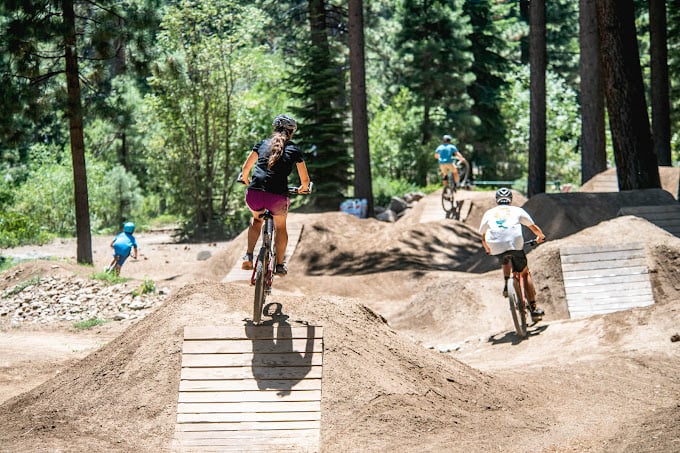
Biking Season is Here
Market Report
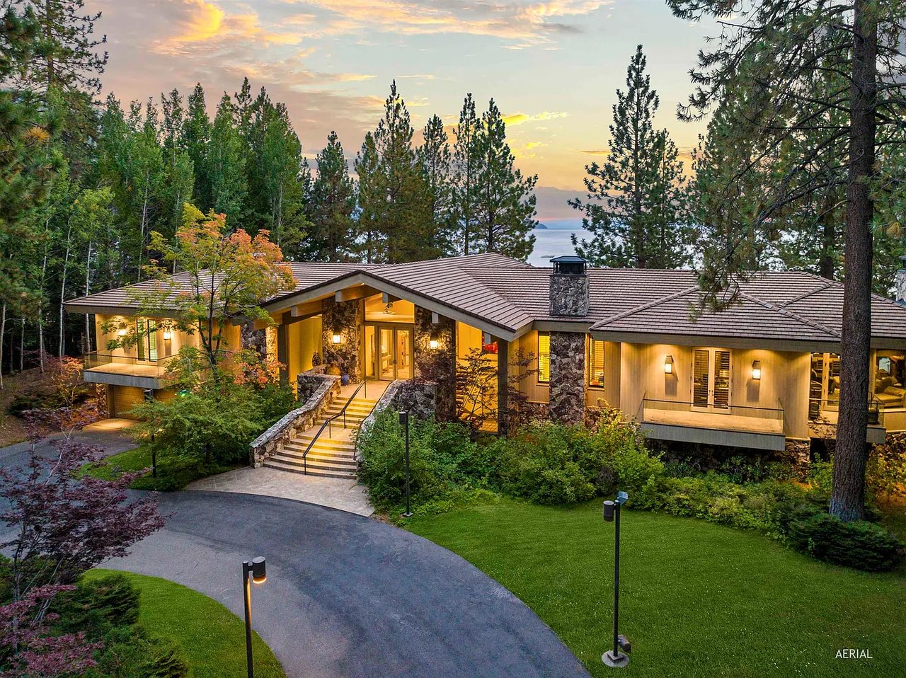
Incline Village & Crystal Bay Real Estate Market Report | Sept 9, 2026
Local's Guide
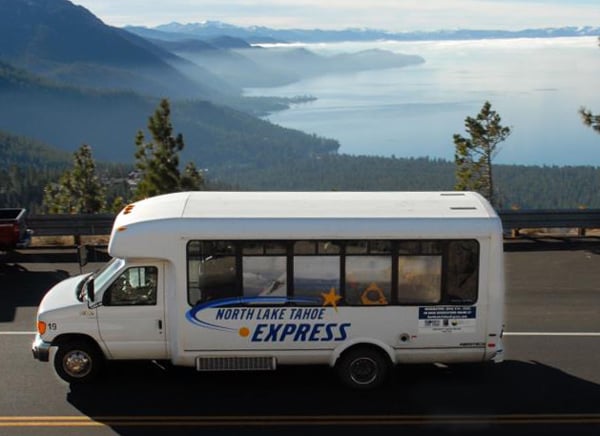
No Rental Car Required
Local Event
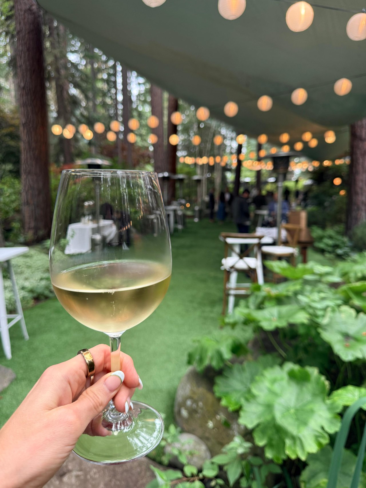
Fourth Annual Incline Wine and Food
Market Report
Incline Village/Crystal Bay Real Estate Market Report
Market Report
190 sales, 167 listings, and the fire that took the lights out Saturday night.
The Tyrolian Downhill Trail

Market Report

Local's Guide
Golf in Incline Village
We pride ourselves in providing personalized solutions that bring our clients closer to their dream properties and enhance their long-term wealth. Contact us today to find out how we can be of assistance to you!